

Freunden von diesem Artikel berichten:
Rand Mcnally Providence Street Map Map edition
Rand Mcnally

Rand Mcnally Providence Street Map Map edition
Rand Mcnally
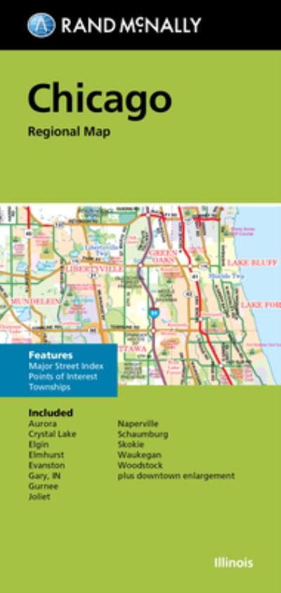
Rand McNally's folded map for Providence is a must-have for anyone traveling in and around this part of Rhode Island, offering unbeatable accuracy and reliability at a great price. Our trusted cartography shows all Interstate, U. S., state, and county highways, along with clearly indicated parks, points of interest, airports, county boundaries, and streets. The easy-to-use legend and detailed index make for quick and easy location of destinations. You'll see why Rand McNally folded maps have been the trusted standard for years.
Regularly updated
Full-color maps
Clearly labeled Interstate, U. S., state, and county highways
Indications of parks, points of interest, airports, county boundaries, schools, shopping malls, downtown & vicinity maps
Enlargment of downtown
Easy-to-use legend
Detailed index & full street index
Convenient folded size
© 2013
Communities Included: Cranston, umberland, East Providence, Lincoln, Pawtucket, Warwick, Woonsocket
| Medien | Bücher Taschenbuch (Buch mit Softcover und geklebtem Rücken) |
| Erscheinungsdatum | 8. September 2020 |
| ISBN13 | 9780528008153 |
| Verlag | Rand McNally |
| Seitenanzahl | 2 |
| Maße | 36 g |
| Sprache | Englisch |
Weitere Titel von Rand Mcnally


![Cover for Rand McNally · A Pocket Atlas of the [world] [cartographic Material]: Presented to the Patrons and Friends of the Chicago & North-Western Ry. Co. With the Compliments of the Passenger Department (Taschenbuch) (2021)](https://imusic.b-cdn.net/images/item/original/417/9781015179417.jpg?rand-mcnally-2021-a-pocket-atlas-of-the-world-cartographic-material-presented-to-the-patrons-and-friends-of-the-chicago-north-western-ry-co-with-the-compliments-of-the-passenger-department-taschenbuch&class=scaled&v=1649334010)


Andere haben auch gekauft
![Cover for Preben Hansen · Turen Går Til: Turen går til Californien & Vestlige USA (Taschenbuch) [5. Ausgabe] (2021)](https://imusic.b-cdn.net/images/item/original/578/9788740063578.jpg?preben-hansen-2021-turen-gaar-til-turen-gaar-til-californien-vestlige-usa-taschenbuch&class=scaled&v=1623395637)
![Cover for Ole Lund Kirkegaard · Læs selv: Læs selv Frode - og alle de andre rødder (Gebundesens Buch) [4. Ausgabe] [Indbundet] (2010)](https://imusic.b-cdn.net/images/item/original/121/9788702094121.jpg?ole-lund-kirkegaard-2010-laes-selv-laes-selv-frode-og-alle-de-andre-roedder-gebundesens-buch&class=scaled&v=1331420409)
![Cover for Yahya Hassan · Yahya Hassan 2 (Taschenbuch) [1. Ausgabe] (2019)](https://imusic.b-cdn.net/images/item/original/866/9788702265866.jpg?yahya-hassan-2019-yahya-hassan-2-taschenbuch&class=scaled&v=1573199860)
![Cover for Peter Ingemann · Den Gyldne Hest (Gebundesens Buch) [1. Ausgabe] (2021)](https://imusic.b-cdn.net/images/item/original/526/9788702330526.jpg?peter-ingemann-2021-den-gyldne-hest-gebundesens-buch&class=scaled&v=1633520816)


Alle Titel von Rand Mcnally ansehen ( u. a. Taschenbuch , Landkarten , Gebundenes Buch , Buch und Spiralbuch )