
Freunden von diesem Artikel berichten:
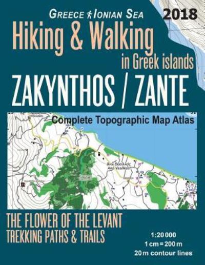
Zakynthos / Zante Complete Topographic Map Atlas 1
Sergio Mazitto
Bestellware

Zakynthos / Zante Complete Topographic Map Atlas 1
Sergio Mazitto
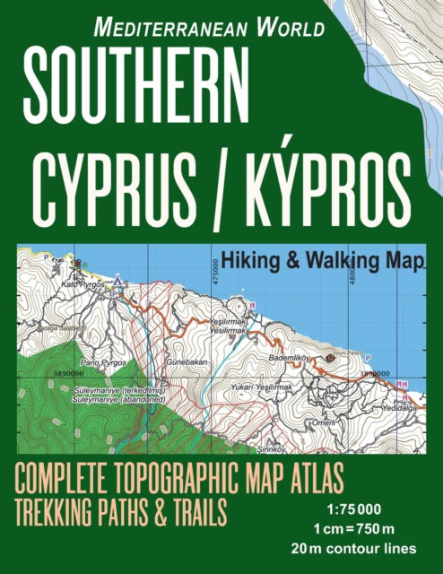
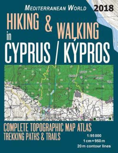
Updated 2018 edition. Large scale, highly detailed topographic map 1:20.000 for hiking and trekking, printed as an atlas book (with overlapping pages). Most geographic names are given in both English and Greek.
Complete map of the island of Zakynthos (Zacìnto, Zante, Zacynthos), a Greek island in the Ionian Sea, covering great walks and wonderful hiking trails in the area.
20 meter contour lines, road network, trails & paths, transportation, food, campsites, shelters, guest houses & hotels. Mercator projection with both UTM and WGS84 coordinate grids.
The map scale of 1:20000 (1 cm = 200 meters) provides a wealth of detail while keeping low the weight of the atlas itself. The large page format of 8.5x11in minimizes page count and along with an overlapping map design allows for comfortable navigation.
The details included in the topographic maps of this atlas were specifically selected to be useful for trekkers, hikers and walkers of all interests, and make it easy to plan and enjoy both short excursions and hikes as well as long multi-day adventures along the main marked routes and/or adjacent trails and paths, which are also shown on the maps.
With this ultralight atlas you will always have a detailed, reliable, information-rich, battery-independent, shatter-proof map for your adventure.
| Medien | Bücher Taschenbuch (Buch mit Softcover und geklebtem Rücken) |
| Erscheinungsdatum | 2. Mai 2018 |
| ISBN13 | 9781718644045 |
| Verlag | Createspace Independent Publishing Platf |
| Seitenanzahl | 44 |
| Maße | 216 × 279 × 3 mm · 167 g |
| Sprache | Englisch |
Weitere Titel von Sergio Mazitto


Alle Titel von Sergio Mazitto ansehen ( u. a. Taschenbuch )