

Freunden von diesem Artikel berichten:
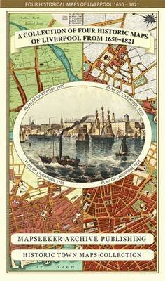
A Bristol 1851-1903 - Fold up Map that consists of Four Detailed Street Plans, Bristol 1851 by John Tallis, 1866 by A Fullarton, 1893 by William MacKenzie and 1903 by Bartholomew. - Bristol Historic Maps Collection
Mapseeker Publishing Ltd.
Preis
£ 21,99
Bestellware
Lieferdatum: ca. 4. - 11. Jun

Zu deiner iMusic Wunschliste hinzufügen
A Bristol 1851-1903 - Fold up Map that consists of Four Detailed Street Plans, Bristol 1851 by John Tallis, 1866 by A Fullarton, 1893 by William MacKenzie and 1903 by Bartholomew. - Bristol Historic Maps Collection
Mapseeker Publishing Ltd.
1 pages
| Medien | Bücher Landkarten (Land- oder Seekarten) |
| Erscheinungsdatum | 15. Mai 2013 |
| ISBN13 | 9781844918171 |
| Verlag | Historical Images Ltd |
| Seitenanzahl | 1 |
| Maße | 225 × 119 × 9 mm · 104 g |
Alle anzeigen
Weitere Titel von Mapseeker Publishing Ltd.


Alle Titel von Mapseeker Publishing Ltd. ansehen ( u. a. Landkarten und Taschenbuch )