

Freunden von diesem Artikel berichten:
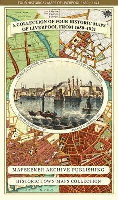
Liverpool 1785-1903 - Fold up Map that includes Charles Eyes detailed Plan of the Township of Liverpool 1785, Cole and Ropers Plan of 1807, Bartholomew's Plan of 1903 and A Birds Eye View of Liverpool 1866. - Liverpool Historic Maps Collection Mapseeker Publishing Ltd.
Preis
€ 22,49
Bestellware
Lieferdatum: ca. 19. - 26. Dez
 Weihnachtsgeschenke können bis zum 31. Januar umgetauscht werden


Zu deiner iMusic Wunschliste hinzufügen
oder
Liverpool 1785-1903 - Fold up Map that includes Charles Eyes detailed Plan of the Township of Liverpool 1785, Cole and Ropers Plan of 1807, Bartholomew's Plan of 1903 and A Birds Eye View of Liverpool 1866. - Liverpool Historic Maps Collection
Mapseeker Publishing Ltd.
This folded map (890mm 1000mm when unfolded) is an ideal souvenir for tourists to Liverpool and also a valuable reference resource for local and family history research. The large map is titled "A plan of the Town and Township of Liverpool 1785 by Charles Eves.
1 pages
| Medien | Bücher Landkarten (Land- oder Seekarten) |
| Erscheinungsdatum | 25. September 2014 |
| ISBN13 | 9781844918249 |
| Verlag | Historical Images Ltd |
| Seitenanzahl | 1 |
| Maße | 228 × 139 × 39 mm · 106 g |
Weitere Titel von Mapseeker Publishing Ltd.
Alle anzeigen


Alle Titel von Mapseeker Publishing Ltd. ansehen ( u. a. Landkarten und Taschenbuch )