

Freunden von diesem Artikel berichten:
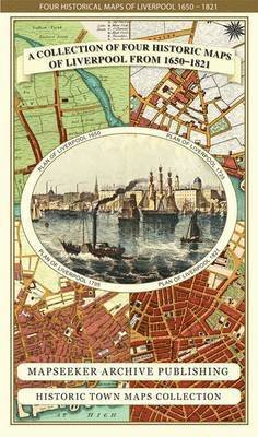
Devon 1611 - 1836 - Fold Up Map that features a collection of Four Historic Maps, John Speed's County Map 1611, Johan Blaeu's County Map of 1648, Thomas Moules County Map of 1836 and a Plan of Exeter 1851 by John Tallis. - Historic Counties Maps Collectio
Mapseeker Publishing Ltd.
Preis
€ 25,49
Bestellware
Lieferdatum: ca. 23. - 29. Mai

Zu deiner iMusic Wunschliste hinzufügen
Devon 1611 - 1836 - Fold Up Map that features a collection of Four Historic Maps, John Speed's County Map 1611, Johan Blaeu's County Map of 1648, Thomas Moules County Map of 1836 and a Plan of Exeter 1851 by John Tallis. - Historic Counties Maps Collectio
Mapseeker Publishing Ltd.
This folded map (890mm x 1000mm when unfolded) is an ideal souvenir for tourists to Devon and also a valuable reference resource for local and family history research. It includes 4 Historic maps of Devon.
1 pages
| Medien | Bücher Landkarten (Land- oder Seekarten) |
| Erscheinungsdatum | 18. November 2014 |
| ISBN13 | 9781844918263 |
| Verlag | Historical Images Ltd |
| Seitenanzahl | 1 |
| Maße | 228 × 140 × 64 mm · 104 g |
Alle anzeigen
Weitere Titel von Mapseeker Publishing Ltd.


Alle Titel von Mapseeker Publishing Ltd. ansehen ( u. a. Landkarten und Taschenbuch )